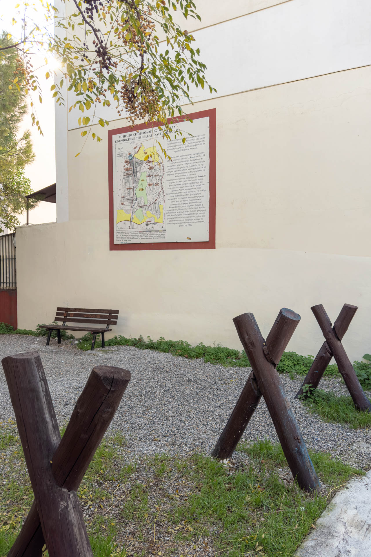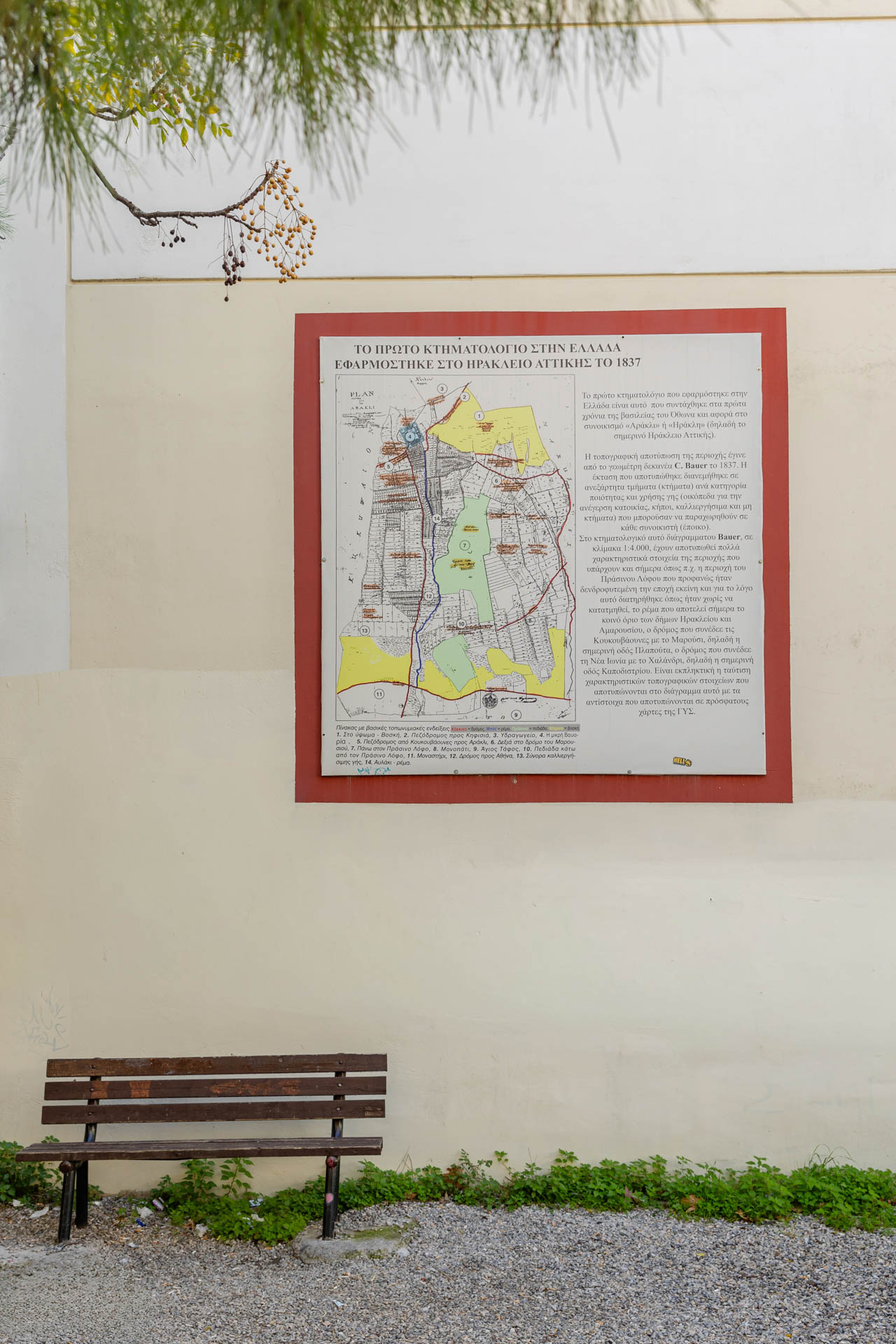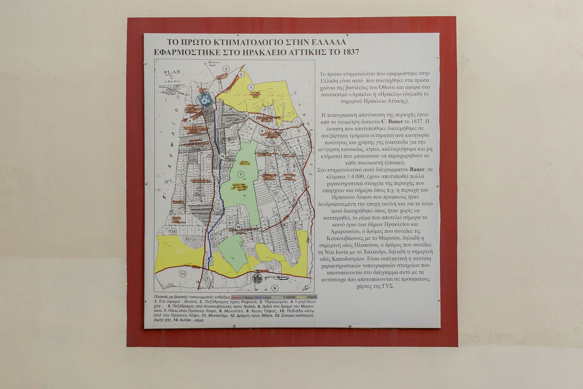
The Ktimatologio Municipal Park, located near the central square of Heraklion, Attica, commemorates one of the most significant milestones in the city’s modern history. In 1837, during the early years of King Otto’s reign, the first Land Registry (Cadastre) of the modern Greek state was implemented in Heraklion — then known as the settlement of “Arakli” or “Irakli” — establishing the area as a pioneer in the institutional organisation and recording of land ownership in Greece. The survey was carried out by the land surveyor C. Bauer and represented one of the earliest organised attempts at the systematic registration of properties, land uses, streams, and natural features. The historic cadastral map clearly depicts areas that remain identifiable today, including the local stream, Prasinos Lofos (Green Hill), and the road networks connecting Heraklion with Marousi and Nea Ionia.
Within the park, visitors can view a diagram illustrating the appearance of Heraklion during the period when it still retained its rural and summer-resort character. More than a simple property map, it captures not only property boundaries, but the entire way of life of an era.
Address: 9 Prasinou Lofou, Heraklion 141 21